

Sub-90
minute revisit,
across primary AOI.
High-resolution Earth Observation and SAR satellites, purpose-built for strategic defense and national resilience.
About Us
Building a self-reliant India in space
Pioneers in Earth Observation for national security and defense
Bharat Space Private Limited is engineering India's first all-weather, multi-sensor Earth Observation constellation — built to give strategic and civil agencies a clearer, faster picture of the ground that matters.
From optical and SAR imaging to electronic intelligence, every system is designed and integrated domestically, reducing dependency on foreign satellite data for time-critical national missions.
Our Solution
India's first multi-sensor, all-weather, high-revisit Earth Observation constellation
Resolution
SUB-METER RESOLUTION
Capture ultra-clear images with resolutions less than 0.5 meters, ensuring detailed analysis for strategic operations.
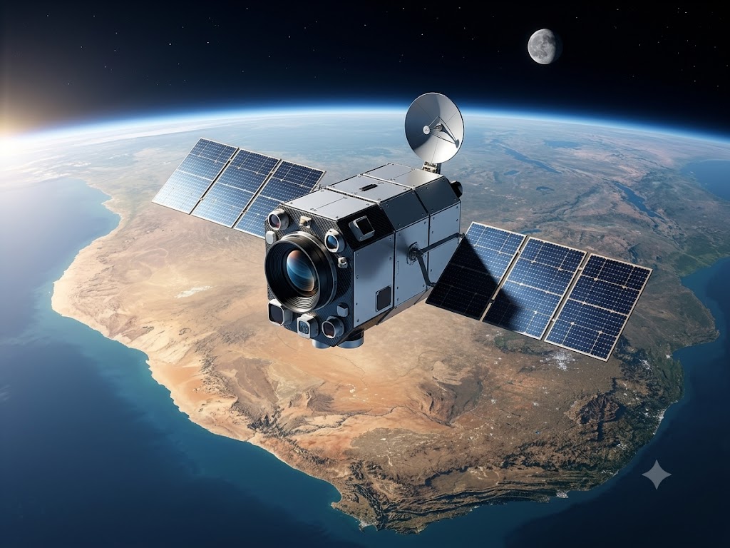
All-Weather
ALL-WEATHER SURVEILLANCE
Ensure uninterrupted visibility with a combination of optical, radar, and infrared sensors, offering reliable data in all weather conditions.
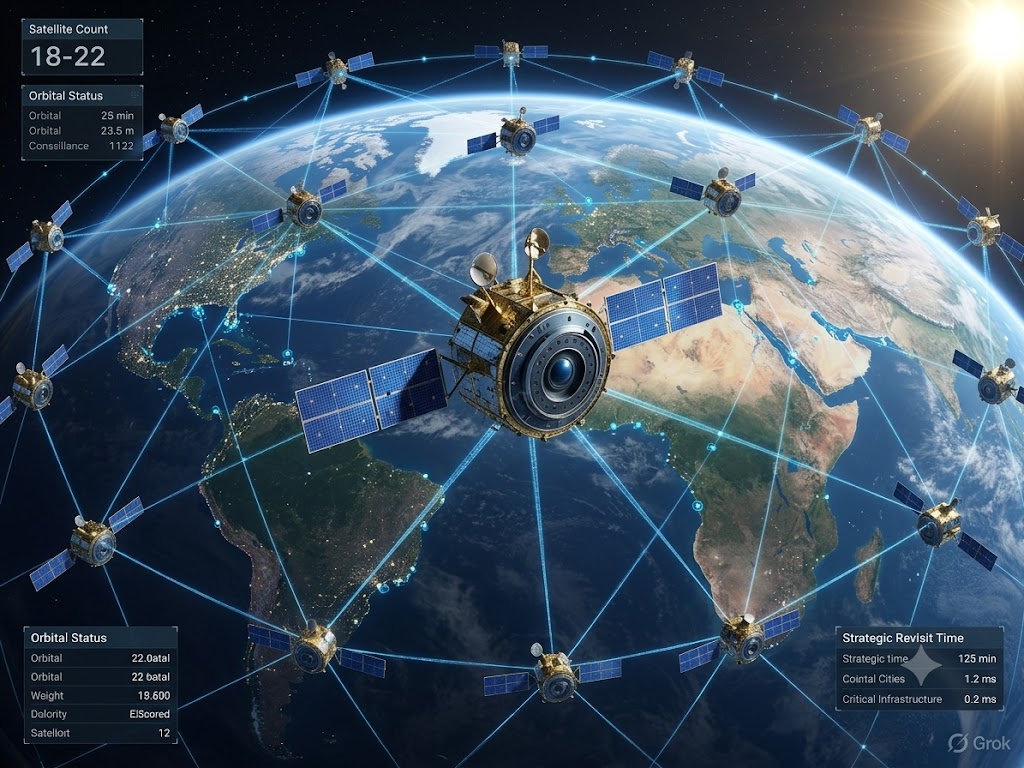
Constellation
18-22 SATELLITE CONSTELLATION
Leverage a robust satellite network designed for high revisit rates and extensive coverage across strategic areas of interest.

Analytics
AI-Driven Image Analytics
Empowering users with advanced geospatial imagery analysis to uncover insights through interactive visualization and precise data filtering.
Our Multi-Mission Satellite Constellation
Diverse satellite types for varied missions
Multispectral
Electro Optical Satellite
- ✓Combining advanced optical imaging with cutting-edge infrared sensors, these satellites offer unparalleled capabilities in missile detection, including hypersonic missiles.
- ✓The optical component provides high-resolution imagery, while the infrared sensors detect heat signatures, enabling early warning of missile launches and tracking of their trajectories.
- ✓This dual-sensor approach significantly enhances India's space-based Ballistic Missile Defense (BMD) capabilities, contributing to national security and strategic deterrence.
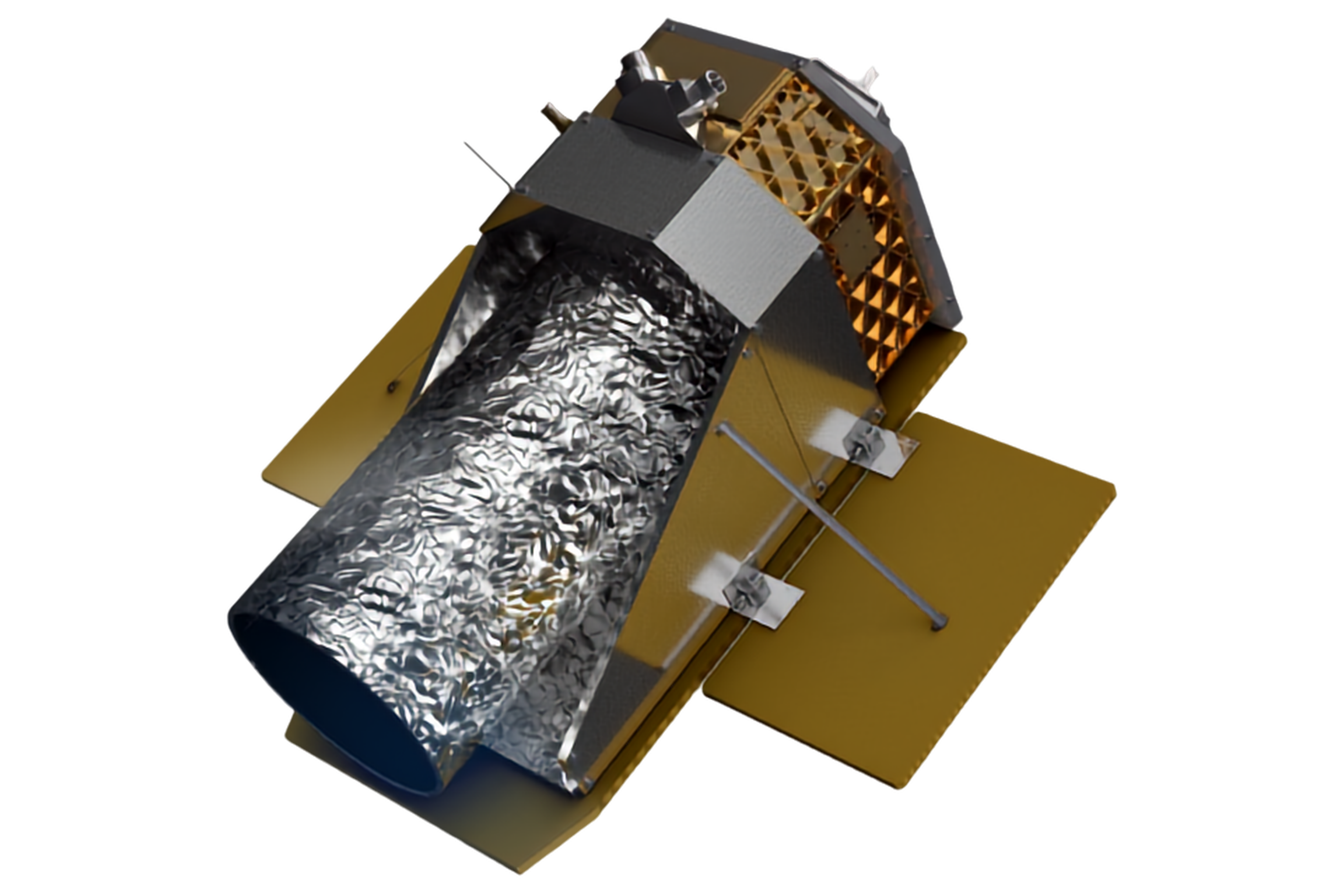 IR, PAN, Multi
 SAR
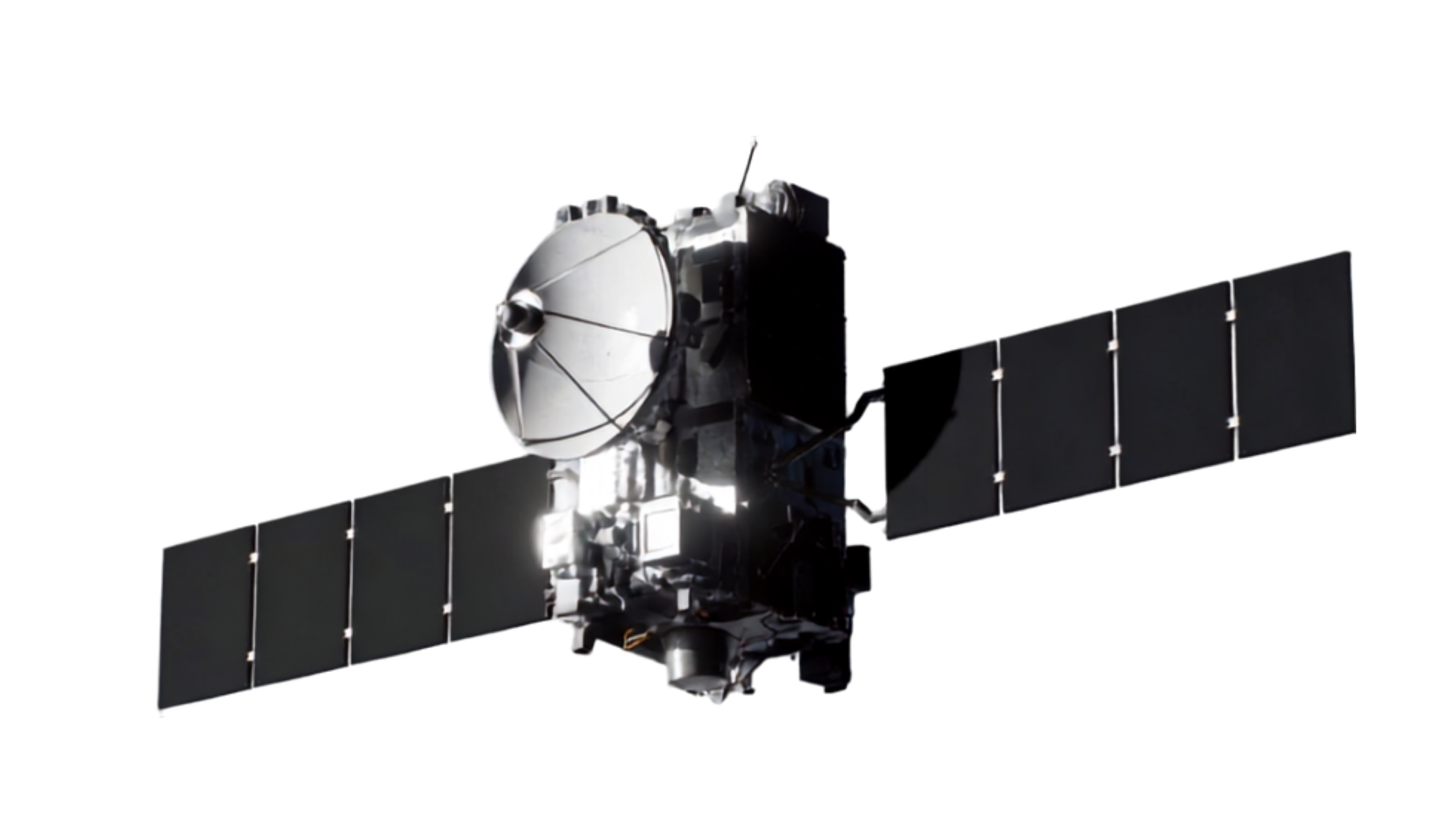
SARSynthetic Aperture Radar Satellites
Synthetic Aperture Radar (SAR) Satellites
- ✓Our SAR satellites, featuring a 100 km swath width, excel in all-weather, day-and-night Earth observation. The wide swath ensures extensive coverage, crucial for monitoring India's vast coastlines and maritime interests.
- ✓Unlike optical sensors, SAR technology uses radar to create detailed images, penetrating cloud cover, darkness, and even light vegetation.
- ✓This makes them ideal for continuous maritime surveillance, disaster monitoring, and change detection in any weather condition.
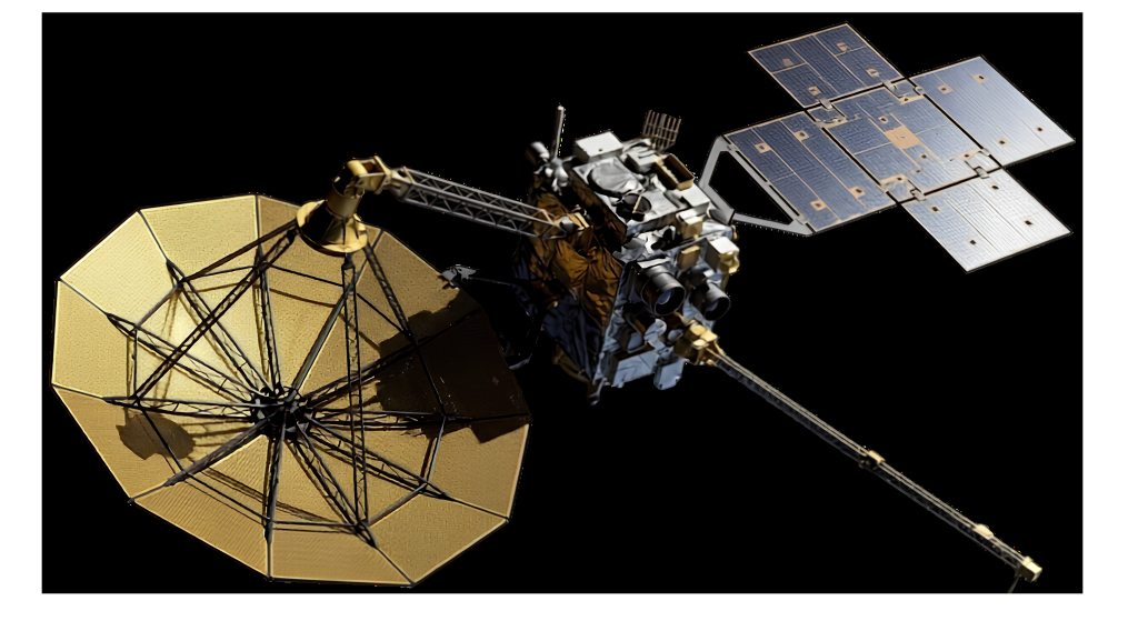
Electronic Intelligence (ELINT) Satellites
ELINT — Electronic Intelligence Satellites
- ✓Modeled after the Kautilya project, our ELINT satellites are designed for sophisticated signals intelligence gathering. This capability significantly enhances India's strategic intelligence gathering and situational awareness.
- ✓These satellites intercept and analyze electronic signals from various sources, providing crucial intelligence when combined with visual Earth observation data.
- ✓By detecting and characterizing radar and communication signals, ELINT satellites play a vital role in electronic warfare, threat assessment, and maintaining technological superiority in the space domain.
 ELINT
ELINTVision for the Next 10 Years
From first launch to a sovereign constellation
2026
2036
About Us
Connect for excellence: your gateway to exceptional solutions.
Reach out with questions, feedback, or collaboration inquiries. Our team responds within 1–2 business days.
Head Office
6th-8th Floor, The Melange, Fugewadi, Seva Nagar, Dapodi, Pimpri-Chinchwad, Pune, Maharashtra 411012